WEATHER ALERT
ENVIRONMENT CANADA
***************************
Winter storm watch issued for:
Kapuskasing - Hearst - Smooth Rock Falls
Timmins - Cochrane - Iroquois Falls
Chapleau - Missinaibi Lake
Current details:
Winter storm likely Wednesday into Thursday.
What:
Total snowfall amounts of 20 to 40 cm.
Peak snowfall rates of 3 to 5 cm per hour.
Poor visibility in heavy snow and local blowing snow.
When:
Beginning Wednesday and tapering off Thursday afternoon.
Additional information:
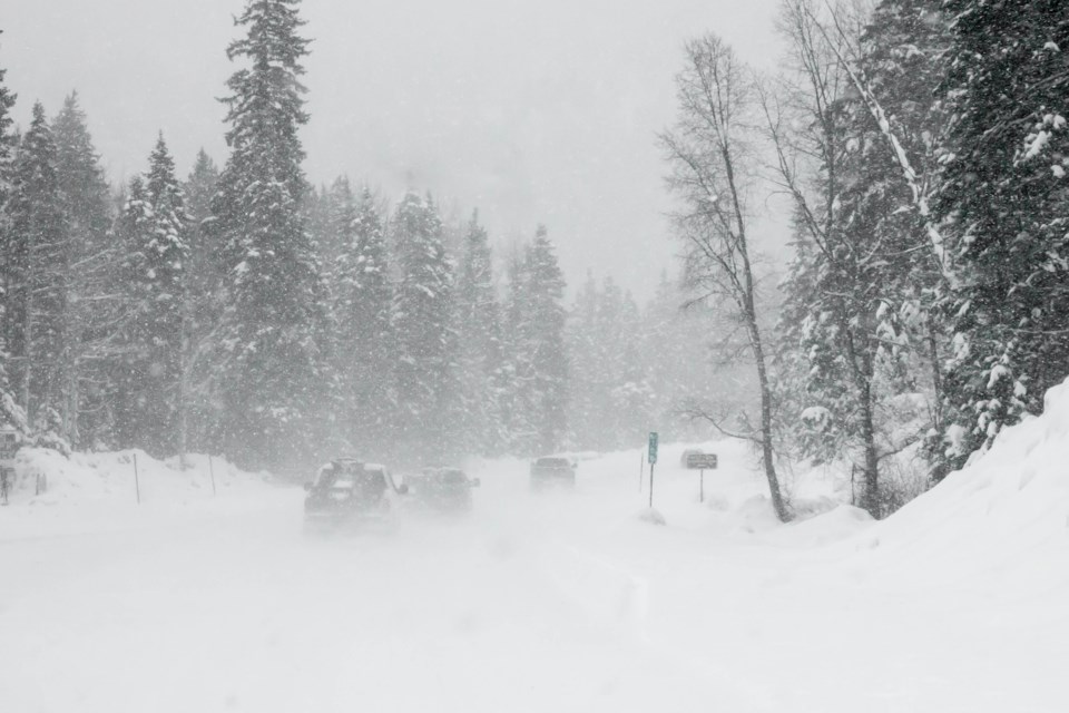
Confidence is increasing that a winter storm will affect portions of northeastern Ontario. Northerly winds gusting to 50 km/h will result in areas of blowing snow giving reduced visibility.
Rapidly accumulating snow could make travel difficult over some locations. Visibility may be suddenly reduced at times in heavy snow. Poor weather conditions may contribute to transportation delays.
Avoid travel if possible.
Please continue to monitor alerts and forecasts issued by Environment Canada. To report severe weather, send an email to [email protected] or post reports on X using #ONStorm.
***************************