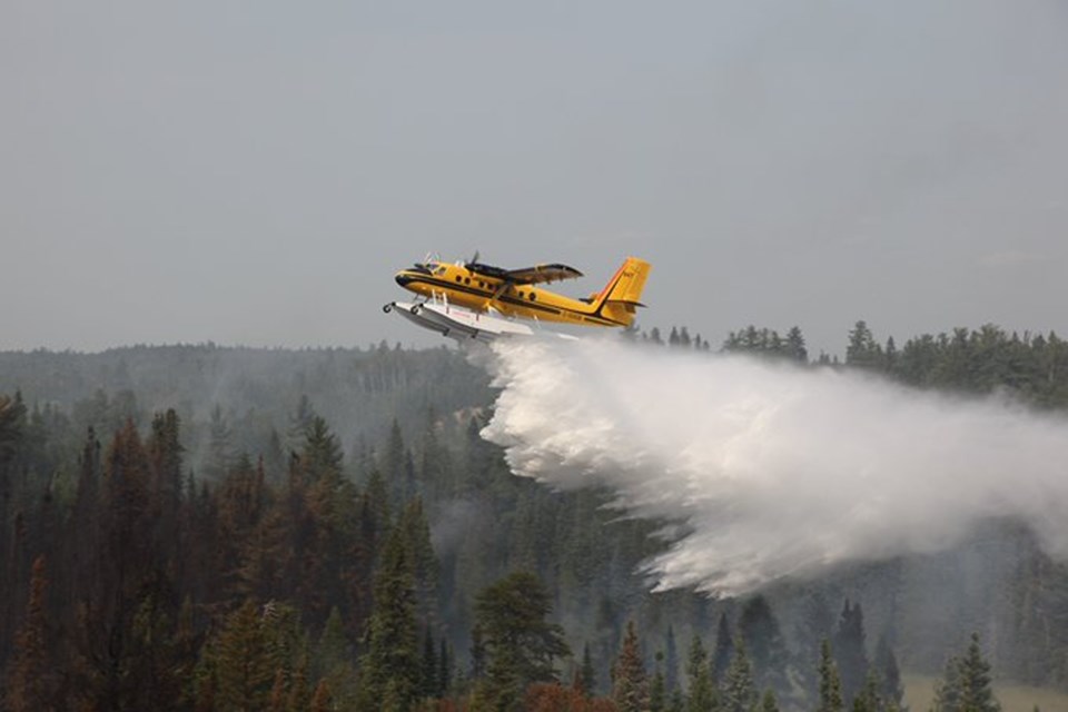
Eight new wildfires have been confirmed in northeastern Ontario since Tuesday night, with the majority of them in Ontario's Far North, fire officials say.
As of Wednesday evening there were 35 active wildland fires in the northest, the Ministry of Natural Resources and Forestry's fire service said.
Of those, seven are under control and eight are being held, Aviation, Forest Fire and Emergency Services for the Northeast Fire Region said in an update.
One fire is not under control and 19 are being observed, the fire service said.
Adding this number to fires in the northwest, as of this morning there were 89 active fires in the province.
Since yesterday, there have been seven new fires confirmed in the Cochrane sector:
- Cochrane 32 is being observed at 300 hectares. It is approximately 12 km northwest of North Washagami Lake in the Far North.
- Cochrane 33 is being observed at 90 hectares. It is approximately 17 km west of North Washagami Lake in the Far North.
- Cochrane 34 is being observed at 150 hectares. It is approximately 43 km southwest of Peawanuk in the Far North.
- Cochrane 35 is being observed at 30 hectares. It is approximately 85 km northwest of Peawanuk in the Far North.
- Cochrane 36 is being observed at 15 hectares. It is approximately 60 km west of Peawanuk in the Far North.
- Cochrane 37 is being observed at 60 hectares. It is approximately 82 km west of Peawanuk in the Far North.
- Cochrane 38 is being observed at 500 hectares. It is approximately 36 km northeast of Kesagami Lake.
One other new fire was confirmed after last night’s update:
- Kirkland Lake 14 is being held and is 0.3 hectares in size. It is approximately 2 km north of Larder Lake.
The fire hazard varies from moderate to high throughout most of the northeast region, officials said. Areas along the Quebec border and one area north of the watershed and south of the Hwy 144/Hwy 101 junction are showing extreme values, the AFFES said.
(For a closer look at fire hazard conditions in our area, view this interactive map.)
A restricted fire zone remains in effect for the entire fire region of Ontario. Outdoor fires are banned.
While the situation is active further north, the MNRF said that travel, use and access restrictions in the Chapleau-Wawa District, that were implemented on June 5, have been lifted. As of 7 a.m. today the restrictions are "no longer in effect," according to the AFFES.
However, other restrictions in the Hearst-Cochrane-Kapuskasing District remain in effect.
The following are details on "fires of note" from the AFFES:
- Cochrane 7 was confirmed on June 2. It is a 37,742 hectare wildland fire is located northeast of Lake Abitibi. Crews, intermediate helicopters, and heavy equipment committed to the fire. It is not under control.
- Cochrane 11 was confirmed on June 17. It’s estimated at 805 hectares and is located approximately 5 km west of the community of Fort Albany and south of Big Island. FireRanger crews are making good progress suppressing this fire. The fire is being held.
- Cochrane 25 is located approximately 21 km southeast of Moose Factory and is 1.5 hectares in size. It is now being held.
- Chapleau 3 was confirmed on June 1. It is a 3,916 hectare wildland fire located 2 km south of October Lake and 2.5 kilometres west of Vichaw Lake. It is being held.
- Chapleau 6 was confirmed on June 4. It is a 1,228 hectare wildland fire located 2.5 km west of Morin Lake and 1 kilometre east of Bolkow Lake. It is being held.
To report a wildland fire located north of the French and Mattawa rivers, dial 310-FIRE.
FAR NORTH FACTS:
The Far North covers 42% of Ontario’s land mass, according to Ontario.ca. About three times the size of Lake Superior, it stretches from Manitoba in the west to James Bay and Quebec in the east.
It is home to 24,000 people (90% of them First Nations), 31 First Nations communities, two municipalities (Pickle Lake and Moosonee) and one community with a Local Service Board (Moose Factory).
