WEATHER ALERT
ENVIRONMENT CANADA
*************************
Issued at 2023-09-06 18:41 UTC:
Severe thunderstorm warning issued for:
Timmins - Cochrane - Iroquois Falls
Current details:
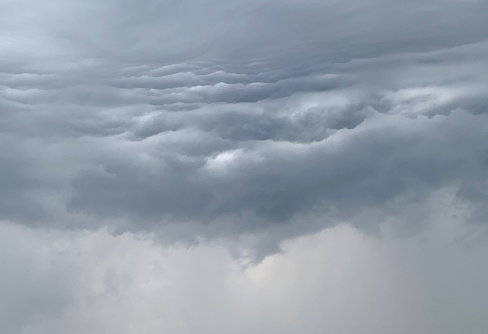
At 2:41 p.m. EDT, Environment Canada meteorologists are tracking a cluster of severe thunderstorms capable of producing strong wind gusts, up to nickel size hail and heavy rain.
This cluster of severe thunderstorms is located from 10 kilometres east of Monteith to Matheson, moving northeast at 55 km/h.
Hazard: 90 km/h wind gusts, nickel size hail and locally heavy rainfall.
Locations impacted include:
Abitibi-De-Troyes Provincial Park, Low Bush and Lake Abitibi / Lac Abitibi.
Heavy downpours can cause flash floods and water pooling on roads. Strong wind gusts can toss loose objects, damage weak buildings, break branches off trees and overturn large vehicles. Remember, severe thunderstorms can produce tornadoes.
Take cover immediately, if threatening weather approaches. Lightning kills and injures Canadians every year. Remember, when thunder roars, go indoors!
Emergency Management Ontario recommends that you take cover immediately if threatening weather approaches.
Severe thunderstorm warnings are issued when imminent or occurring thunderstorms are likely to produce or are producing one or more of the following: large hail, damaging winds, torrential rainfall.
Please continue to monitor alerts and forecasts issued by Environment Canada. To report severe weather, send an email to [email protected] or tweet reports using #ONStorm.
For more information: https://www.ontario.ca/page/be-prepared-emergency.