TIMMINS - There are a couple of weather alerts in effect for the area today.
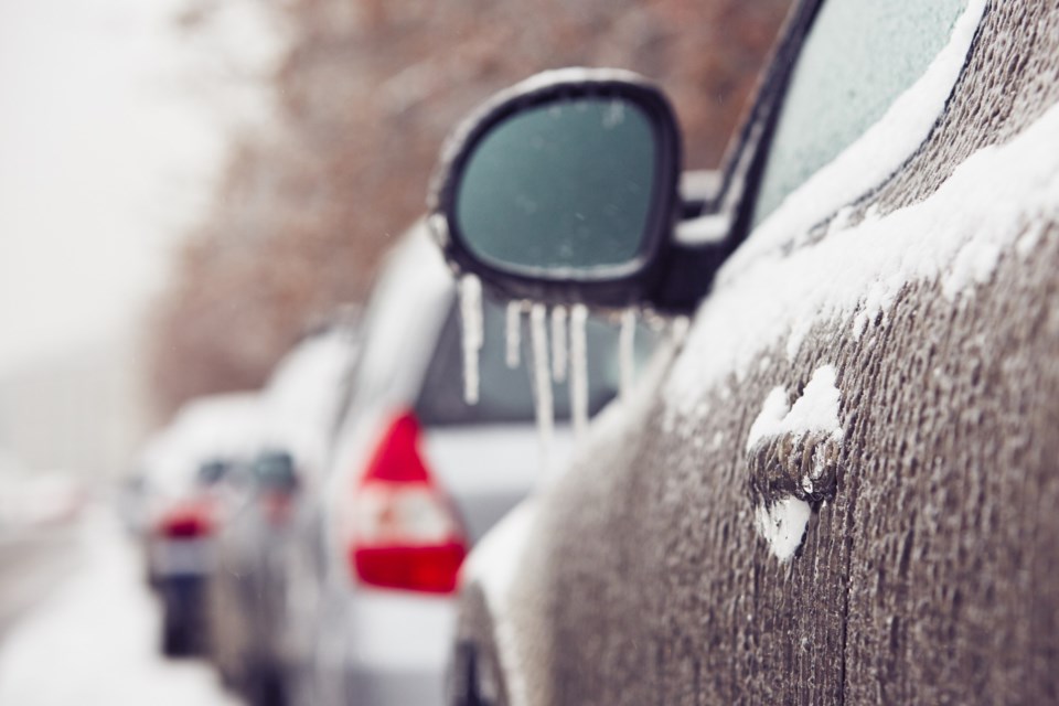
The day after a significant snowstorm passed through the area, there's now a snow squall watch and flash freeze warning in effect.
The snow squall watch is for Timmins, Cochrane, Iroquois Falls, Kapuskasing, Hearst, Smooth Rock Falls, Manitouwadge, Hornepayne, Chapleau, Gogama, and Englehart.
This afternoon and into this evening, Environment Canada says a brief, intense snowfall is expected to develop. There will be reduced visibility with the heavy, blowing snow, with five to 10 centimetres expected.
The flash freeze warning is for Timmins, Cochrane, Iroquois Falls, Kapuskasing, Hearst, Smooth Rock Falls, Manitouwadge and Hornepayne.
The temperatures are expected to rapidly fall and suddenly freeze water from melting snow.
"A cold front will move through the area beginning early this afternoon along Highway 11 near Klotz Lake and will reach the Timmins area this evening. Temperatures are expected to quickly plunge below the freezing mark in the wake of the cold front. Any wet surfaces due to snow melt may become icy and slippery," reads the warning.
"Surfaces such as highways, roads, walkways and parking lots may become icy and slippery."