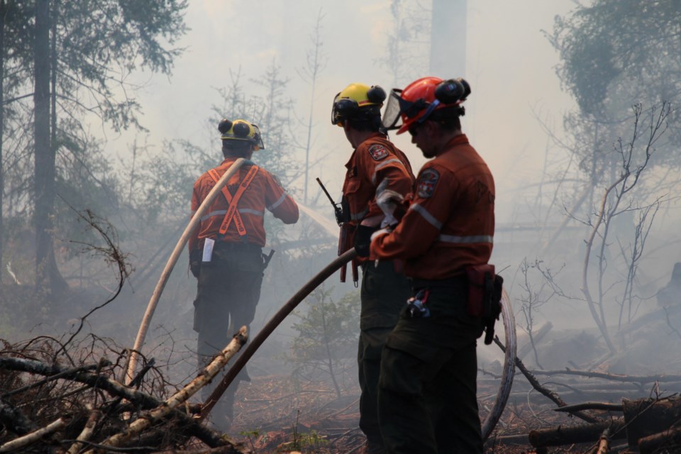
Five new wildfires, three of them in Sudbury, have been confirmed by the Aviation, Forest Fire and Emergency Services for the Northeast Fire Region by early evening Aug. 7.
- Sudbury 21 (SUD021) measures 0.2 of a hectare and is located near the northern shore of Matagamasi Lake.
- Sudbury 22 (SUD022) measures 0.1 of a hectare and is located near the intersection of Portelance and Gunther roads, approximately 17 kilometres north of Capreol.
- Sudbury 23 (SUD023) measures 0.2 of a hectare and is located near the northern shore of Mohzabong Lake, approximately 35 kilometres west of highway 144.
- Cochrane 29 (COC029) is a five-hectare fire located near the eastern shore of Kenogami River. It was confirmed Wednesday afternoon and is being observed.
- Hearst 10 (HEA10) is being observed at 0.1 of a hectare and is located in close proximity to the Squirrel River, and approximately 20 kilometres east of the Nagagamisis River.
There are currently 25 active wildland fires in the Northeast Region: 19 are being observed, one is being held and five are not under control.
The fire hazard is predominantly moderate to high for most of the region. Areas located east of the eastern shore of Lake Superior and along the north shore of Lake Huron (ranging from east of Marathon, through White River, Wawa, Dubreuilville, Sault Ste. Marie, Bruce Mines to Blind River, and south to St. Joseph’s Island) as well as along highway 129 are showing an extreme hazard this afternoon. Areas located south and east of Lake Nipissing within the fire region are showing a mostly low to moderate forest fire hazard.
For current wildland fire danger values check this interactive map.


