WEATHER ALERT
ENVIRONMENT CANADA
*************************
Winter storm warning in effect for:
- Timmins - Cochrane - Iroquois Falls
Heavy snow across many areas today. Mainly rain with the risk of freezing rain for other areas.
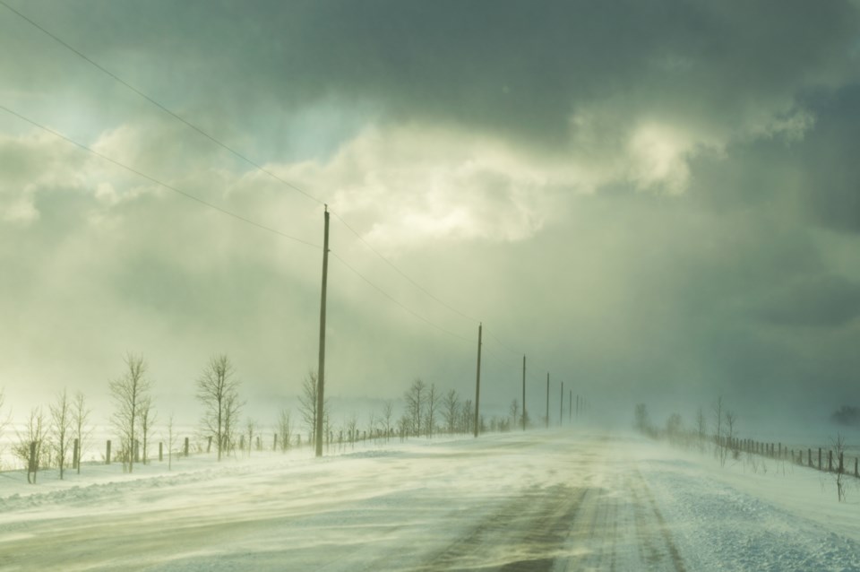
Snow and rain will continue over the area today. A narrow zone of freezing rain has also developed near a frontal boundary. This boundary extends from near Timmins to near Chapleau to Lake Superior Park this morning but will continue to drift northward today. By this evening any freezing rain associated with this boundary will come to an end or transition back to snow. The snow will taper to flurries tonight. Strong northwesterly winds gusting up to 50 km are also forecast to develop later today resulting in local blowing snow.
Significant snowfall amounts in the 25 to 40 cm range are expected by the time the snow comes to an end.
Consider postponing non-essential travel until conditions improve. Surfaces such as highways, roads, walkways and parking lots may become difficult to navigate due to accumulating snow. Road closures are possible.
Please continue to monitor alerts and forecasts issued by Environment Canada. To report severe weather, send an email to [email protected] or tweet reports using #ONStorm.
Winter storm warning in effect for:
- Little Abitibi - Kesagami Lake
- Fraserdale - Pledger Lake
- Kapuskasing - Hearst - Smooth Rock Falls
Major winter storm today into tonight.
A strong low pressure system is forecast to track across Northeastern Ontario today bringing heavy snow and blowing snow to the area.
Snow has already begun early this morning near Kapuskasing. It will continue to spread northeastward to reach Moosonee late this morning and Fort Albany by noon. Northerly winds gusting up to 70 km/h are also forecast with this storm resulting in widespread blowing snow. The snow and blowing snow will continue into tonight before tapering to flurries on Tuesday.
Total snowfall amounts in the 30 to 50 cm range are expected.
Consider postponing non-essential travel until conditions improve. Surfaces such as highways, roads, walkways and parking lots may become difficult to navigate due to accumulating snow. Road closures are possible.
Please continue to monitor alerts and forecasts issued by Environment Canada. To report severe weather, send an email to [email protected] or tweet reports using #ONStorm.
*************************


