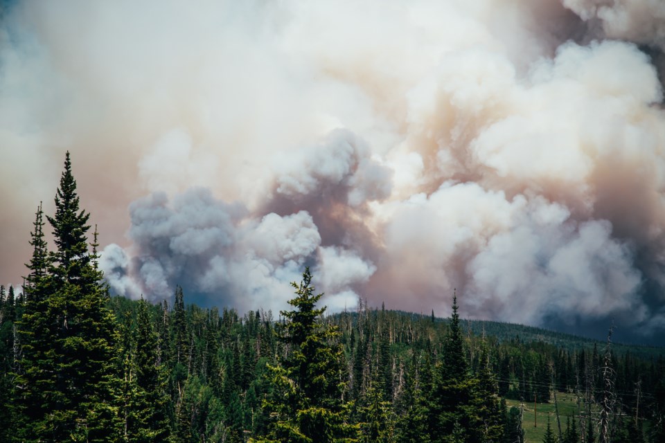
As a forest fire continues to burn and grow in the White River area, travel restrictions have been put in place in the Chapleau-Wawa District.
Two forest fires — Wawa 2 and Wawa 3 — have been burning in that area all week.
There are now travel and use restrictions in the Chapleau-Wawa district.
The travel and use of the following areas are prohibited unless you have a travel permit issued by the Chapleau-Wawa District Ministry of Natural Resources and Forestry:
- 400 south of where Road 400 intersects the White River Forest Unit boundary
- Road 300 south of the intersection of Road 300 and Road 350
- Road 500 west of the intersection of Road 500 and Road 550
- Road 226 west of the intersection of Road 226 and Highway 631
- Mink Lake East Road north of intersection of Mink Lake East Road and Highway 631
- Mink Lake Boat Launch Road north of intersection of Mink Lake Boat Launch Road and Highway 631
- Operational Road 631-02 north of intersection of Road 631-02 and Highway 631
- Operational Road 631-01 (aka. Tower Road) north of intersection of Road 631-01 and Highway 631
- Road 100 north of intersection of Road 100 and the Picnic Lake Road
- North Reagan Road north of intersection of North Reagan Road and Road 50
If you require a travel permit, call 705-856-2396.
For information on lost structures, call District Information Officer Tim Mutter at 705-864-3139.
In its update today, Aviation, Forest Fire and Emergency Services (AFFES) says Wawa 2, which started May 26, is not under control at 105 hectares.
Wawa 3 is 6,810 hectares and still not under control. It's located about nine kilometres southeast of White River and on Highway 17 near the Depew River. There are five helicopters and 12 FireRanger crews assigned to the fire and additional resources have been requested, says the AFFES. Crews have also been fighting the fire from the air and structural protection is ongoing.


