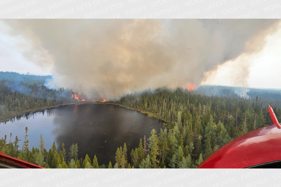
Ten new forest fires were confirmed on Sunday in the northeast region.
Of the 30 fires currently burning in the region, 24 are not yet under control, says Aviation, Forest Fires and Emergency Services (AFFES). There are also four fires that are under control, one's being held and one's being observed.
The fires confirmed on Sunday, June 4 are:
- Hearst 4 - 12 hectares in size and is located east of RR 583 about 0.7 km from the village of Mead.
- Chapleau 6 - 210 hectares and is located about 48 kilometres northwest of Chapleau and about 15.7 kilometres west of the southern point of Missinaibi Provincial Park.
- North Bay 4 - 0.3 hectares. This fire is located about 1.5 kilometres west of the northern part of Obabika Lake in Obabika River Provincial Park.
- Sault Ste Marie 3 - 2.8 hectares. This fire is located about 15 kilometres west of Elliot Lake and 0.5 kilometres south of Matinenda Lake.
- Sudbury 16, 18, and 19 are all 1 hectare or less in size and located west of Spanish River Provincial Park.
- Sudbury 20 - Less than 1 hectare, is located about 26 kilometres north of Chelmsford.
- Sudbury 15 - 5 hectares and located in the far eastern part of La Cloche Provincial Park.
- Sudbury 17 - 45 hectares and located about 2 kilometres west of RR 810 and roughly 25 kilometres east of Mississagi Provincial Park.
Two fires near Lake Abibiti that started on Friday also continue to burn.
Cochrane 6 is located about 11.6 kilometres west of the northern end of Lake Abitibi and 31.6 kilometres northeast of Iroquois Falls. It is about 1,000 hectares in size, according to the Ontario Fire Map.
Cochrane 7 is located about 16.8 kilometres northeast of the northeastern end of Lake Abitibi and 11.2 kilometres west of the Quebec border. It was last mapped at 1,840 hectares.
The Timmins 6 fire in the Malette Road area is under control at 8.5 hectares.
The Cochrane 2 fire is 80 hectares and not under control. Travel is also restricted in the area of the fire.
The emergency declaration prohibits access to the following areas:
- Reaume Esker Road beginning where it intersects with Town Dump Road
- Potter Road West of the TC Energy Plant
- Connaught-Evelyn Road North of the Pallet Lake access point

If you have any questions or need a travel permit, call the Hearst-Cochrane-Kapuskasing District MNRF office at 705-272-7178 or email [email protected]
As of last night, Wawa in the White River area is still not under control. It was last mapped at 6,810 hectares in size. Travel is restricted in the area due to the active fire and fire suppression operations. Find the roads affected here.
The northeast region continues to be a restricted fire zone and no open-air burning is allowed.


